
Photo: Jessica Arellano
A strong upper trough combined with deep moist airflow is expected to bring widespread areas of heavy rainfall and flooding across Logan City and the Scenic Rim overnight into Tuesday morning.
According to the Weather Bureau, the conditions could lead to FLASH FLOODING.
As at 3pm Monday, Logan City Council reported there was no flood warning current for the Albert and Logan Rivers.
Sandbags available to residents ahead of forecast heavy rain.
Sandbags will be available to collect from from the Logan East SES Depot, 26-36 Winnetts Road, Daisy Hill.
 Collection of sandbags from other Logan City Council depots is not available.
Residents will need to collect their own sandbags, if this is not possible,you can contact the SES on 132 500 to make alternative arrangements.
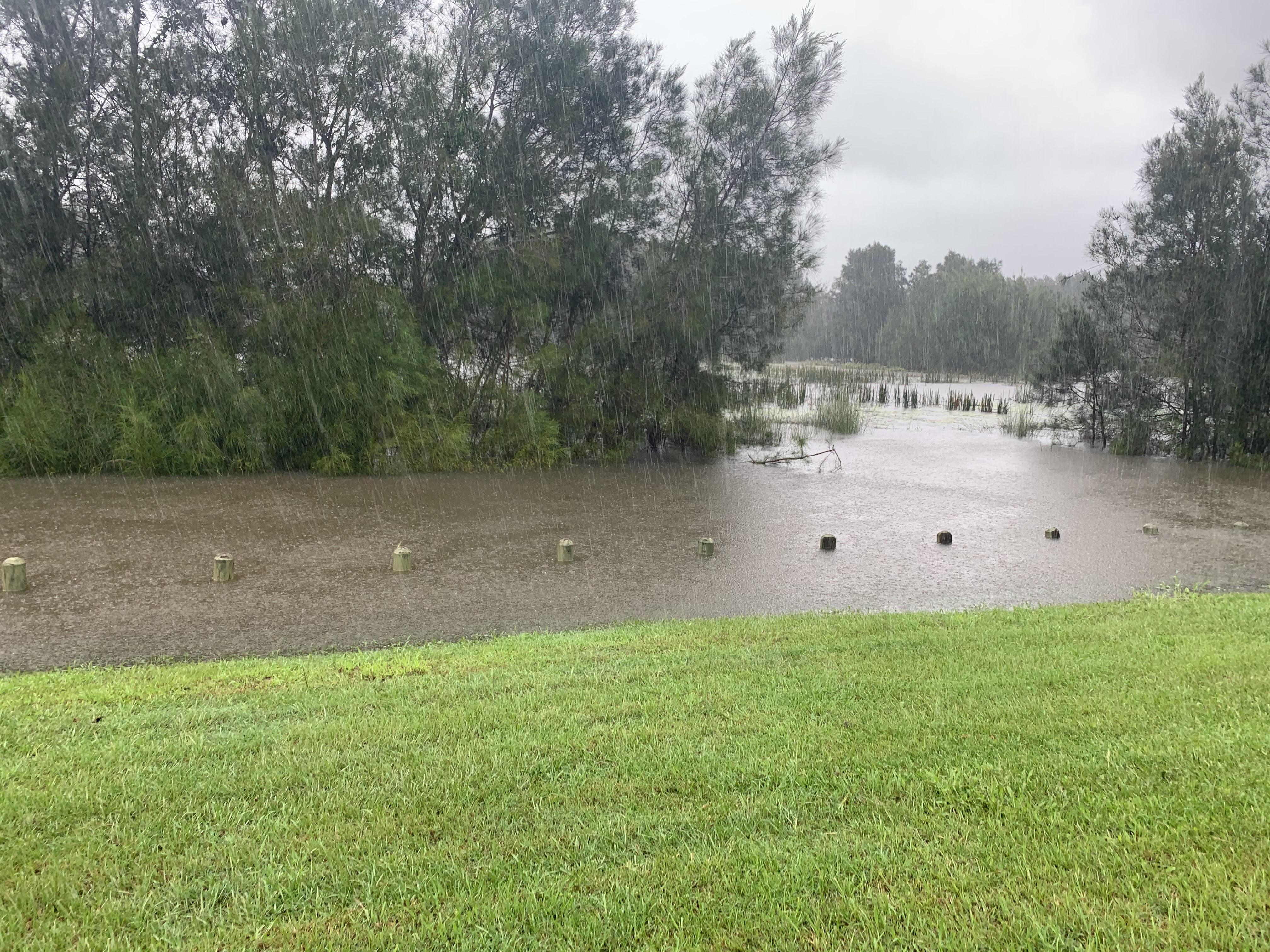
Low-lying parts of the city have experienced flash flooding as a result of weekend rainfall and more inundations are expected into Tuesday.
Deputy Mayor Jon Raven is reminding locals, “If It’s Flooded, Forget It! – we don’t want to see you on the news”.
Council is currently assessing damage to the city’s road network. A list of road hazards can be found on Council’s website HERE.

7News reporter Erin Edwards
7News reporter ERIN EDWARDS is in Shailer Park. She’s told My News Feed: “Boxer Avenue was completely torn up”.
“Many residents are stuck and can’t get out of their driveways.”
She says council is still considering options on how to resolve the problem.
In the last 24 hours, close to 240 millimetres of rain has fallen at North Tamborine and 229 millimetres in Beenleigh.