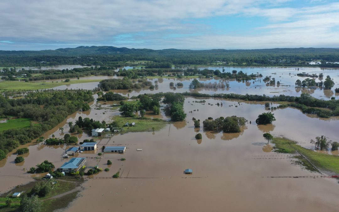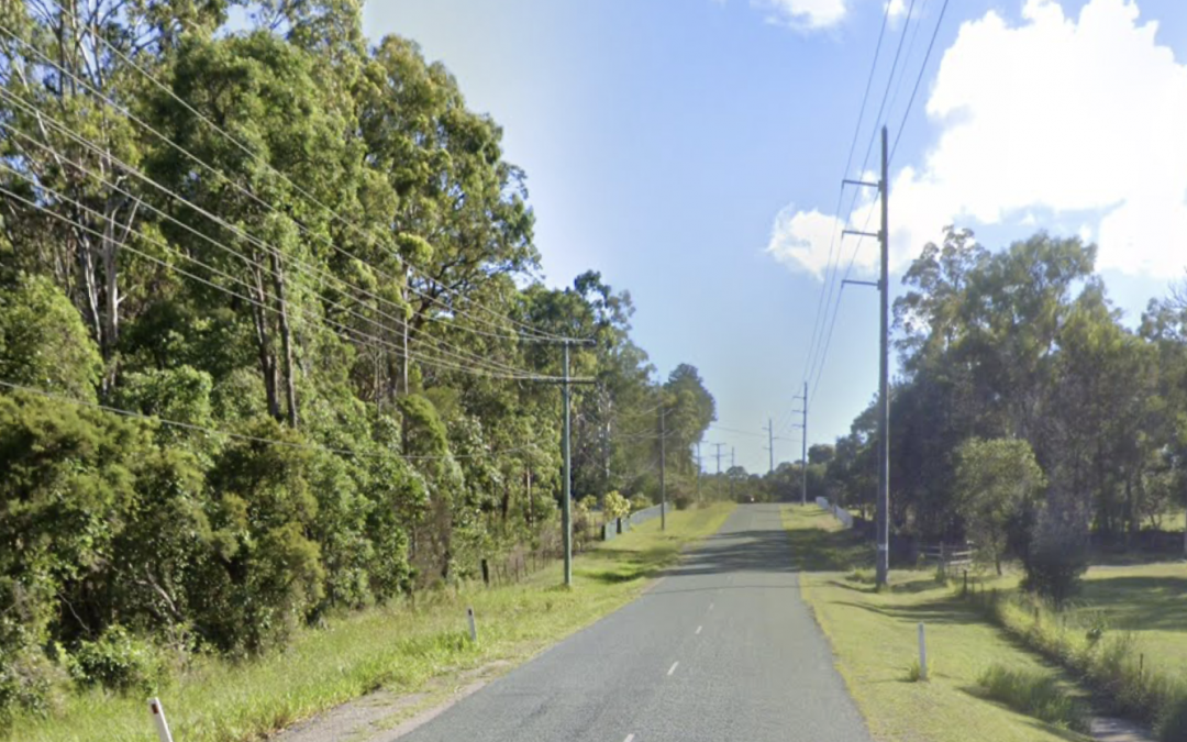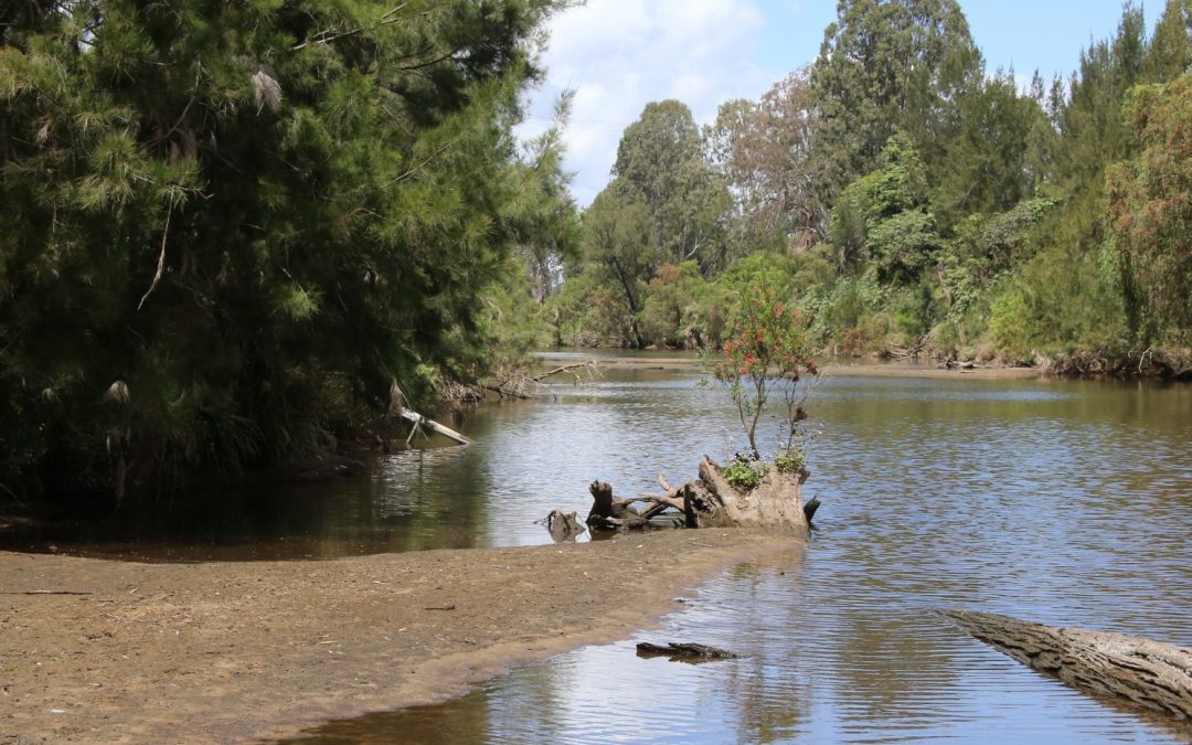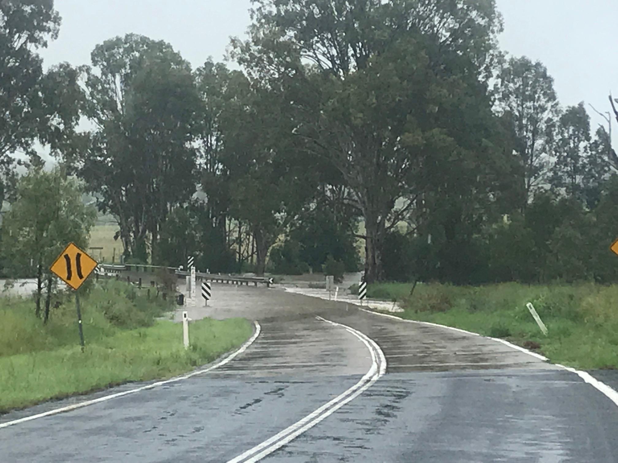
The constant heavy rain across Logan and the Scenic Rim is impacting roads in both regions.
Scenic Rim Regional Council has issued an Emergency Alert for its residents.
It says heavy rainfall and flash flooding is continuing across the region.
Multiple roads are currently being impacted by floodwaters and 47 of them are closed or partially closed to traffic.
| Suburb | Street | Incident | Impact Type | Advice | |
|---|---|---|---|---|---|
| Council Impacted Roads | |||||
| Boonah | Macquarie St | Flooding | Closures – Road closed to all traffic | Do not drive in flood waters | |
| Tamborine Mountain | The Shelf Rd | Hazard | Lanes affected – All lanes affected | Proceed with caution | |
| Witheren | Darlington Range Rd | Hazard | Lanes affected – All lanes affected | Proceed with caution | |
| Coulson | Beaudesert Boonah Rd | Flooding | Closures – Road closed to all traffic | Do not drive in flood waters | |
| Canungra | Coburg Rd | Flooding | Closures – Road closed to all traffic | Do not drive in flood waters | |
| Biddaddaba | Armstrong Rd | Flooding | Lanes affected – All lanes affected | Do not drive in flood waters | |
| Mount Alford | F M Bells Rd | Hazard | Lanes affected – All lanes affected | Observe signage | |
| Aratula | Toohill Rd | Flooding | Lanes affected – All lanes affected | Do not drive in flood waters | |
| Mount Walker | Stokes Crossing Rd | Flooding | Lanes affected – All lanes affected | Do not drive in flood waters | |
| Biddaddaba | Biddaddaba Creek Rd | Flooding | Lanes affected – All lanes affected | Observe signage | |
| Mount Alford | Ganthorpe Rd | Flooding | Lanes affected – All lanes affected | Do not drive in flood waters | |
| Beaudesert | Thiedke Rd | Hazard | Lanes affected – All lanes affected | Do not drive in flood waters | |
| Carneys Creek | Carneys Creek Rd | Hazard | Lanes affected – All lanes affected | Proceed with caution | |
| Mutdapilly,Peak Crossing | Mutdapilly Churchbank Weir Rd, Peak Crossing Churchbank Weir Rd | Flooding | Closures – Road closed to all traffic | Do not drive in flood waters | |
| Canungra | Curtis Rd | Hazard | Road restricted – Restricted to four wheel drive vehicles only | Proceed with caution | |
| TMR (131940) Road Closures | |||||
| Rathdowney – Scenic Rim Regional | Boonah Rathdowney Road | Hazard | Closures – Road closed to all traffic | Do not drive in flood waters | |
| Dugandan – Scenic Rim Regional | Mount Alford Road | Flooding | Closures – Road closed to all traffic | Do not drive in flood waters | |
| Washpool – Scenic Rim Regional | Ipswich Boonah Road ( Boonah Road) | Flooding | Lanes affected – All lanes affected | Proceed with caution | |
| Coulson – Scenic Rim Regional | Beaudesert Boonah Road | Flooding | Closures – Road closed to all traffic | Do not drive in flood waters | |
| Jimboomba – Logan City / Scenic Rim Regional | Bushman Drive | Flooding | Closures – Road closed to all traffic | Do not drive in flood waters | |
| Beaudesert / Bromelton – Scenic Rim Regional | Beaudesert Boonah Road | Flooding | Closures – Road closed to all traffic | Do not drive in flood waters | |
| Beaudesert – Scenic Rim Regional | Mount Lindesay Highway | Flooding | Lanes affected – All lanes affected | Do not drive in flood waters | |
| Coulson – Scenic Rim Regional | Ipswich Boonah Road | Flooding | Lanes affected – All lanes affected | Do not drive in flood waters | |
| Canungra / Sarabah – Scenic Rim Regional | Lamington National Park Road | Hazard | N/A | Observe signage | |
| Cougal – Scenic Rim Regional | Running Creek Road | Hazard | Closures – Road closed to all traffic | Use alternative route | |
| Mount Barney – Scenic Rim Regional | Mt Lindesay Highway | Hazard | Lanes affected – Lane or lanes reduced | Proceed with caution | |
| Mutdapilly – Scenic Rim Regional | Cunningham Highway | Hazard | Lanes affected – Lane or lanes reduced | Proceed with caution | |
| Beechmont – Scenic Rim Regional | Beechmont Road | Hazard | Lanes blocked – All lanes blocked | Do not drive in flood waters | |
| Mount Lindesay – Scenic Rim Regional | Mt Lindesay Highway | Hazard | Lanes blocked – One lane blocked | Traffic control on scene | |
| Kalbar – Scenic Rim Regional | Cunningham Highway | Flooding | Lanes affected – All lanes affected | Do not drive in flood waters | |
| Mundoolun – Scenic Rim Regional | Beaudesert Beenleigh Road | Roadworks | Lanes affected – Lane or lanes reduced | Changed traffic conditions | |
| Tamborine Mountain – Scenic Rim Regional | Geissmann Drive / Main Western Road | Roadworks | Lanes affected – All lanes affected | Allow extra travel time | |
| Kalbar – Scenic Rim Regional | Kalbar Connection Road | Flooding | Closures – Road closed to all traffic | Do not drive in flood waters | |
| Tabragalba – Scenic Rim Regional | Beaudesert Nerang Road | Flooding | Lanes affected – All lanes affected | Do not drive in flood waters | |
| Peak Crossing – Ipswich City / Scenic Rim Regional | Allens Road / Mount Flinders Road / Ipswich Boonah Road | Special event | Lanes affected – Lane or lanes reduced | Changed traffic conditions | |
| Tamborine / Tamborine Mountain – Scenic Rim Regional | Tamborine Mountain Road | Roadworks | Lanes affected – Lane or lanes reduced | Changed traffic conditions | |
| Tamborine – Scenic Rim Regional | Beaudesert Beenleigh Road / Mundoolun Connection Road | Roadworks | N/A | Reduced speed limit (40km/h) | |
| Tamborine Mountain – Scenic Rim Regional | Tamborine Mountain Road | Hazard | Lanes blocked – All lanes blocked | Use alternative route | |
| Cainbable – Scenic Rim Regional | Lamington National Park Road | Hazard | Lanes blocked – One lane blocked | Observe signage | |
| Cainbable – Scenic Rim Regional | Lamington National Park Road | Hazard | Lanes affected – Lane or lanes reduced | Changed traffic conditions | |
| Cainbable / Kerry – Scenic Rim Regional | Duck Creek Road | Hazard | Closures – Road closed to all traffic | Use alternative route | |
| Bromelton – Scenic Rim Regional | Beaudesert Boonah Road | Roadworks | Lanes affected – All lanes affected | Changed traffic conditions | |
| Beaudesert / Josephville – Scenic Rim Regional | Mount Lindesay Highway | Roadworks | Lanes blocked – Lane or lanes blocked | Allow extra travel time | |
| Cainbable / O’Reilly – Scenic Rim Regional | Lamington National Park Road | Roadworks | N/A | Allow extra travel time | |
| Rathdowney – Scenic Rim Regional | Boonah Rathdowney Road (Burnett Creek Bridge) | Roadworks | Lanes affected – Lane or lanes reduced | Traffic control on scene | |
| Mount Barney / Palen Creek – Scenic Rim Regional | Mount Lindesay Highway (Hardgrave Road) | Roadworks | Lanes affected – Lane or lanes reduced | Allow extra travel time | |
| Coochin – Scenic Rim Regional | Maroon Dam Road | Hazard | Lanes affected – All lanes affected | Observe signage | |
In Logan Tamarind Street at Marsden is flooded and 34 other roads currently have water washing over them.
| Road/Street | Suburb | Description | Map |
|---|---|---|---|
| MURRAYS ROAD | SLACKS CREEK | water over road | View on map |
| THOMPSON ROAD | GREENBANK | Water over road | View on map |
| SCHMIDTS ROAD | LOGAN RESERVE | Water over road | View on map |
| GREEN ROAD | CRESTMEAD | water over road | View on map |
| TULLY CONNECTION ROAD | GREENBANK | water over road | View on map |
| PIMPAMA STREET | WATERFORD | Water over road | View on map |
| RIPLEY ROAD | LYONS | Potholes or road surface damage | View on map |
| FORD ROAD | PRIESTDALE | Potholes or road surface damage | View on map |
| SCHMIDT ROAD | EAGLEBY | water over road | View on map |
| STONEY CAMP ROAD | GREENBANK | water over road | View on map |
| ERWIN ROAD | CARBROOK | water over road | View on map |
| WYATT ROAD | KAGARU | water over road | View on map |
| ISON ROAD | GREENBANK | Water over road | View on map |
| STOCKLEIGH ROAD | JIMBOOMBA | Water over road | View on map |
| GOODNA ROAD | GREENBANK | Water over road | View on map |
| LOGAN RESERVE ROAD | LOGAN RESERVE | Water over road | View on map |
| FRYAR ROAD | EAGLEBY | Water over road | View on map |
| CHAMBERS FLAT ROAD | CHAMBERS FLAT | water over road | View on map |
| FORD ROAD | PRIESTDALE | Water over road | View on map |
| OLSON ROAD | NORTH MACLEAN | Water over road | View on map |
| KOOLENA ROAD | GREENBANK | Water over road | View on map |
| MUNDOOLUN ROAD | MUNDOOLUN | water over road | View on map |
| TAMARIND STREET | MARSDEN | flooding | View on map |
| MUNDOOLUN ROAD | MUNDOOLUN | water over road | View on map |
| SECOND AVENUE | MARSDEN | Water over road | View on map |
| CUSACK LANE | JIMBOOMBA | water over road | View on map |
| NEW BEITH ROAD | GREENBANK | Water over road | View on map |
| DAIRY CREEK ROAD | WATERFORD | Water over road | View on map |
| STERN ROAD | CARBROOK | water over road | View on map |
| COORANG ROAD | CARBROOK | water over road | View on map |
| BACKWATER ROAD | GREENBANK | water over road | View on map |
| ROSSMORE ROAD | LOGAN RESERVE | Water over road | View on map |
| WEST COORANG ROAD | CORNUBIA | Water over road | View on map |
| GRANGER ROAD | PARK RIDGE SOUTH | water over road | View on map |
| SCHOOL ROAD | LOGAN RESERVE | water over road | View on map |
The Bureau of Meteorology says there’s also minor flooding occurring in areas along the Logan River at Beaudesert and Maclean Bridge and further river level rises are expected today