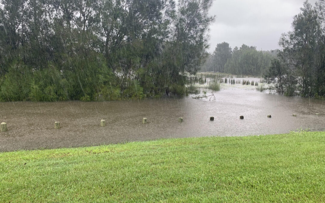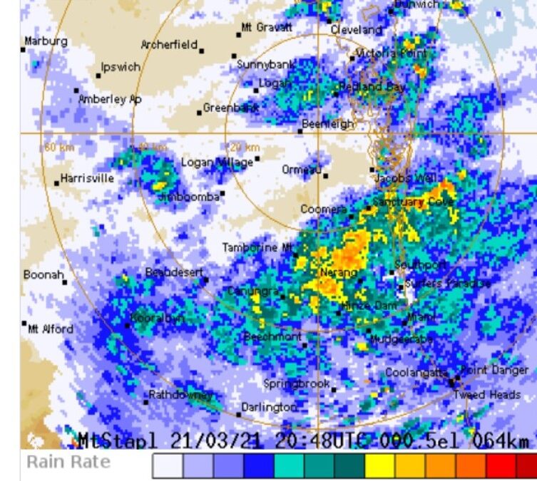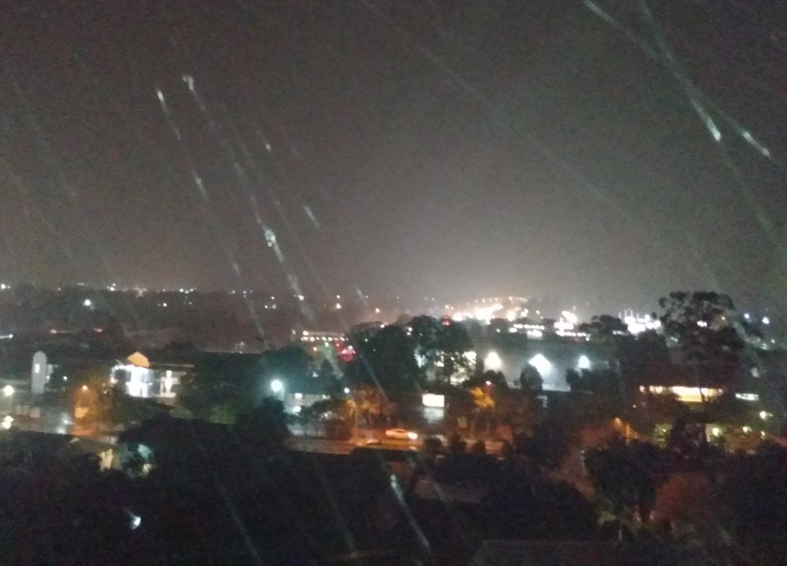
The rain has started – ahead of heavy downpours forecast for this weekend in Logan City and the Scenic Rim.
Showers and strong winds are likely to start Saturday and continue for a few days.
Sunday is forecast to be the wettest day with more than 60mm of rain likely to fall across the region.
The Weather Bureau has highlighted several key messages, going into this weekend’s weather event:
* A significant rainfall event will unfold
* Cumulative totals over 200mm
* Gale-force winds and dangerous swells will accompany the heavy rain, augmented by the approaching new moon king tides to result in significant beach erosion into early next week.
* A severe weather warning will likely be issued.
* Stormy and unsettled across tropical Queensland for at least the next week, with potentially severe thunderstorms extending into the southern interior this afternoon.
* Cooler conditions spreading through southern Queensland.
* A tropical low approximately 500Km northeast of Vanuatu will continue developing over the next few days, potentially reaching tropical cyclone status by early next week. The system is not expected to move into the Eastern Region over the next seven days