Like a Category One cyclone – Logan City won’t escape it
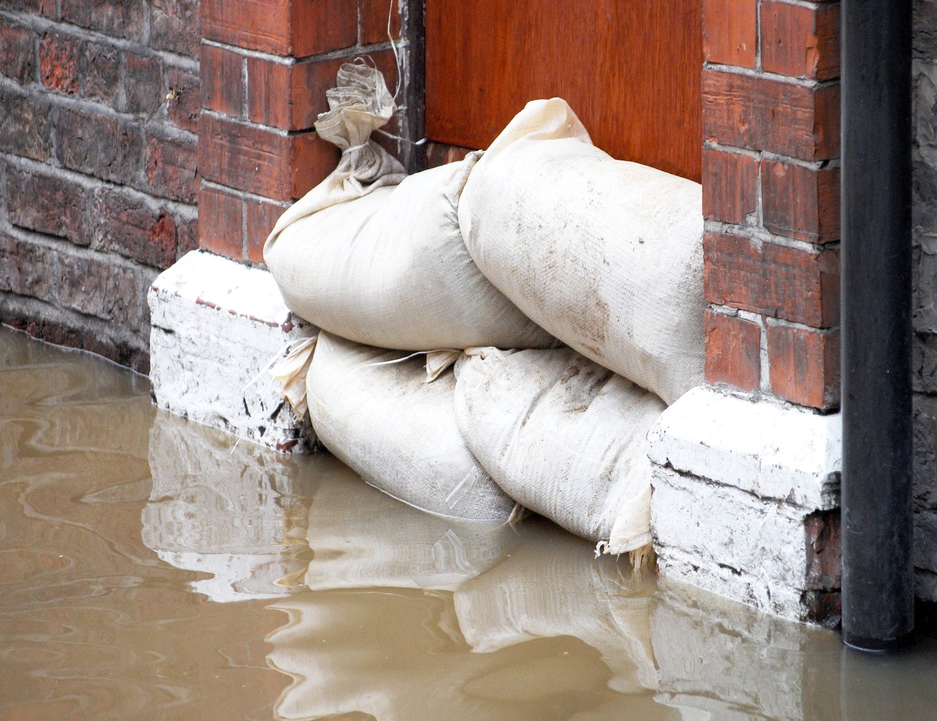
Authorities are preparing for the worst but hoping for the best as a low pressure system makes its way towards us.
Already, the S.E.S. has received multiple calls from Logan City residents. Some are still piecing together their lives after the election night thunderstorms.
(Photo: Brian Lowe)
All day today, My News Feed has been tracking the path of this weather event. Click HERE for details
“The worst is yet to come” according to Emergency Services Minister Mark Ryan.
“The significant weather event will bring severe heavy rain, damaging winds, and the possibility of flash flooding between Bundaberg and the south coast.
“I am told by the bureau that whilst this is not a cyclone many of the impacts from this weather event will be similar to a category one cyclone event”
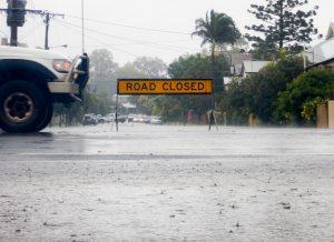
Residents are being warned to stay away from floodwater and avoid unnecessary travel.
A flood warning has been issued for the Albert and Logan rivers, with their catchment areas now saturated with renewed river level rises expected with forecast rainfall.
Already, areas around Beenleigh received more than 70mm of rain in a 24 hour period. Nearly 200mm of rain fell at Darlington while O’Reillys saw 276mm.
The worst of the storm front is expected to hit Logan City early Monday morning, followed by localised flash flooding.
Localised flooding and disruption to transport routes is also possible throughout the Flood Watch area.